
 Login
Login
Laurel River Lake, Kentucky Waterproof Map (Fishing Hot Spots) – Lake Maps
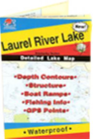 |
Laurel River Lake, Kentucky Waterproof Map (Fishing Hot Spots)Much of this lake remains in a wilderness state and is noted for its unique scenic beauty. Vertical rock walls, waterfalls and quiet coves attract boaters and fishermen throughout the year. This is the premier series of Fishing Hot Spots maps. Each detailed maps provides depth contours, structure, boat ramps and updated fishing information, with productive spots marked on the map. You'll also find a complete lat/long grid and dozens of GPS waypoints. These four-color maps are as easy-to-use as they are to read! Size - 24 x36
$16.45
Shipping: 0.00
Category: Lake Maps Vendor: Fishing Hot Spots Vendor Item #: L111 Inventory: 1 Dated Added:  |
|
Quick Links Laurel River Lake News Laurel River Lake Photos Laurel River Lake Videos |


